First Snowfall of the Season Could Hit Northeast as Arctic Cold Sweeps Across Eastern U.S.
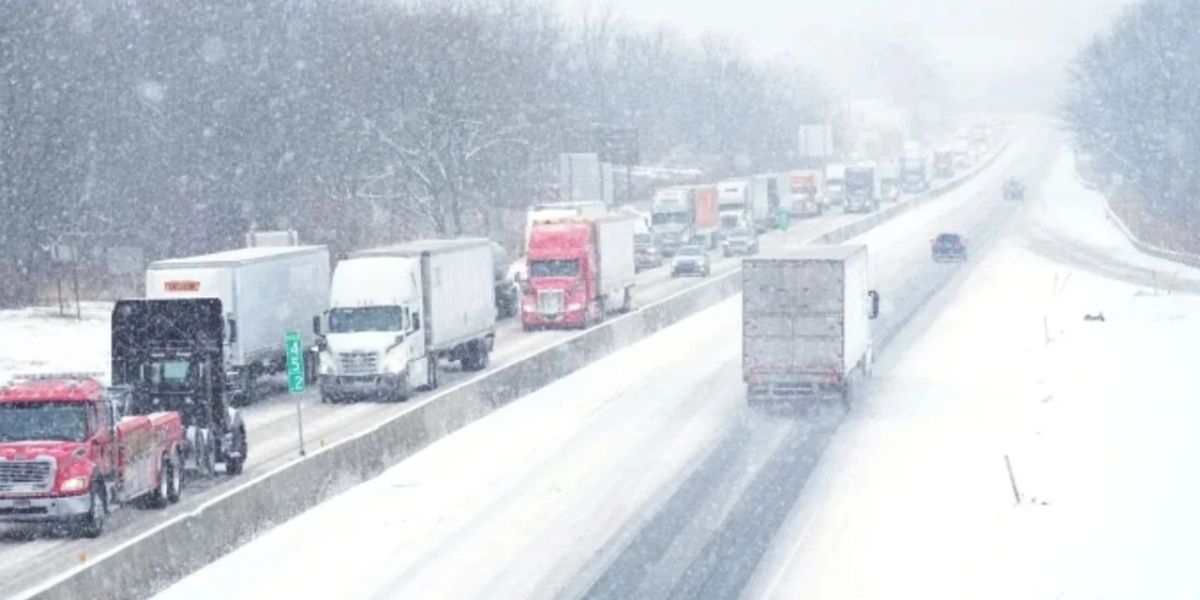
The northeastern United States could experience its first snowfall of the season later this week as a powerful cold air mass moves across the eastern half of the country. However, forecasters say uncertainty remains over how much snow could fall and which communities may receive the greatest impact.
The developing weather pattern could also bring temperatures significantly below seasonal averages, creating a widespread cold snap from the Canadian border to the Gulf Coast.
Cold Snap Expected to Bring Freezing Conditions
A major dip in the jet stream is expected to push colder air across the eastern United States beginning Wednesday and continuing through the weekend.
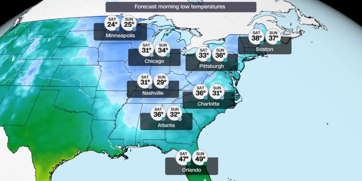
Temperatures could fall between 20 and 25 degrees below average for this time of year, making conditions unusually cold for several major cities.
Chicago and Atlanta could experience overnight feels-like temperatures near or below freezing. Daytime temperatures are also expected to remain chilly, with highs generally reaching only the mid-30s and 40s from Thursday through the weekend.
Which Areas Could See the First Snowfall?
A developing storm system over the Midwest is expected to strengthen as it moves toward the Northeast later this week.
While several major cities could receive cold rain, higher elevations and inland communities may have a better chance of seeing snow.
Potentially affected areas include:
- Upstate New York
- New Hampshire
- Vermont
- Higher-elevation communities across the Northeast
Cities including Boston, New York, Philadelphia, Pittsburgh and Washington, D.C., are more likely to experience rain because of relatively warmer conditions.
Key Weather Forecast Details
| Weather Factor | Expected Conditions |
|---|---|
| Cold air arrival | Wednesday onward |
| Temperature drop | 20–25°F below average |
| Overnight conditions | Near or below freezing |
| Daytime highs | Mid-30s to 40s |
| Snowfall chances | Interior and higher elevations |
| Rain chances | Major Northeast cities |
Why Is the Snow Forecast Still Uncertain?
The main uncertainty involves a possible second storm developing off the Mid-Atlantic coast.
After the primary storm moves away from land, another smaller weather system could develop and affect coastal communities from the Mid-Atlantic to New England.
Its exact track will determine whether some locations receive rain, snow or a combination of both.
As weather models continue to evolve, snowfall amounts and affected communities could become clearer.
What Should Residents Expect Next?
Residents across the eastern United States should prepare for colder-than-normal conditions, particularly during overnight hours. People in areas with higher snowfall potential should monitor updated local forecasts and be prepared for changing weather conditions.
Stay Updated with LifeScienceReport.com
For the latest weather developments, breaking news and important updates across the United States, visit LifeScienceReport.com. Stay informed with the stories that matter most.