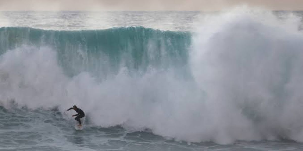
Pacific Storms Bring Heavy Rain, Mountain Snow and Dangerous 25-Foot Waves Across the Western US
A series of powerful Pacific storms is bringing heavy rain, mountain snowfall, strong winds and dangerous coastal waves to parts of the western United States. Fueled by an atmospheric river, the storm systems are expected to move across the region in several rounds, creating challenging conditions for coastal communities, mountain travelers and residents in vulnerable areas.
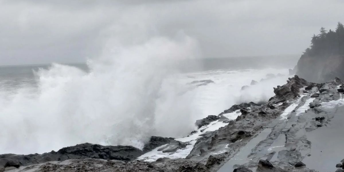
Forecasters warn that some coastal locations could experience waves reaching 15 to 25 feet, with even higher waves possible in exposed areas.
Pacific Storms Bring Multiple Rounds of Rain and Snow
The incoming storm systems are expected to affect California, Oregon, Washington and parts of the Intermountain West. Rain and mountain snow will arrive in waves as each system moves inland.
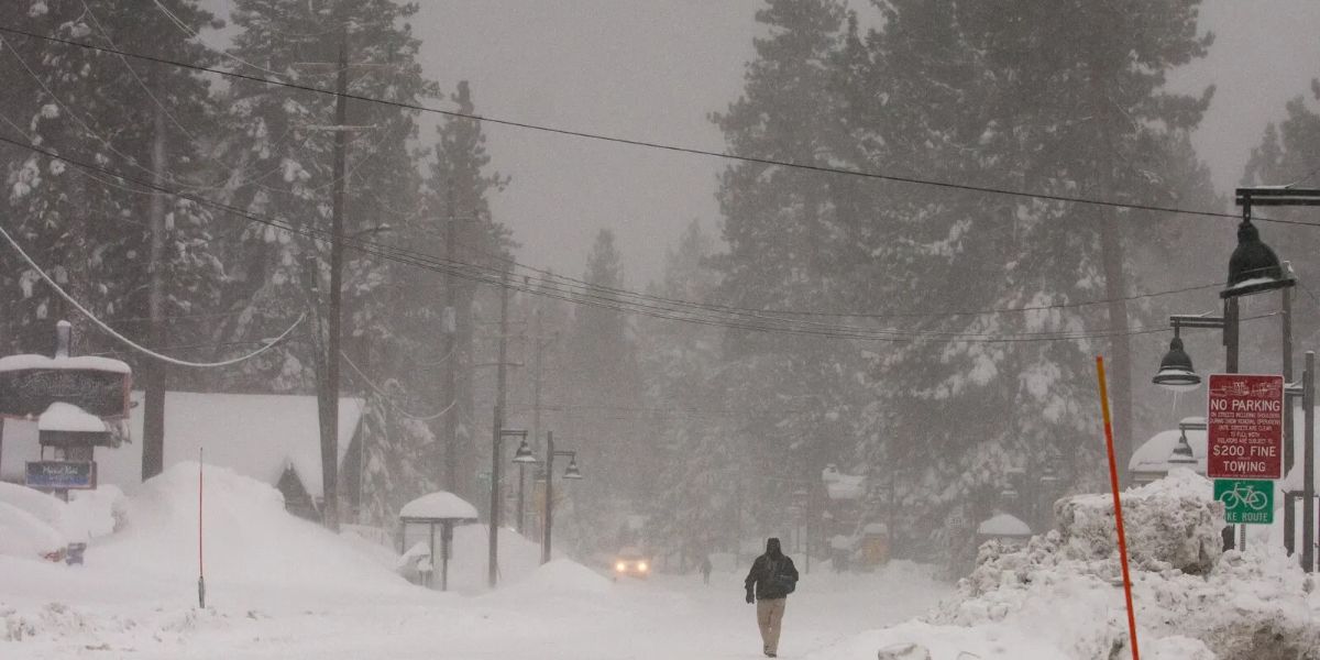
The changing weather pattern could also make travel difficult, particularly across mountain highways where heavy snowfall and reduced visibility are expected.
Weather Forecast: Monday Through Wednesday
The storm activity is expected to develop in several stages:
- Monday: Rain and mountain snow shift toward the Intermountain West. Southern Sierra Nevada could receive 1 to 2 feet of snow.
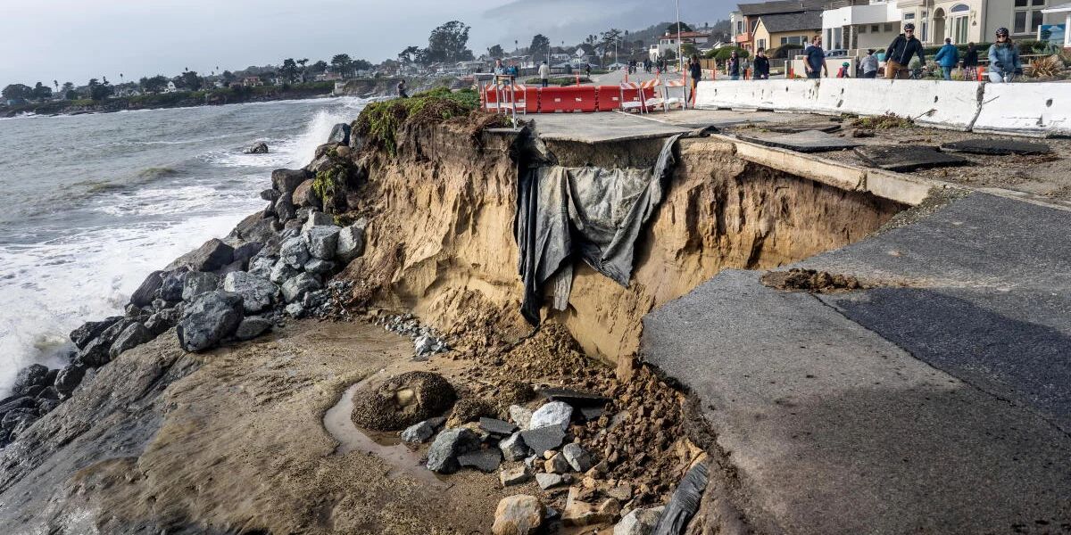
- Tuesday: Another storm approaches the West Coast, increasing rainfall and mountain snowfall. Flooding concerns could grow as earlier rainfall leaves coastal soils saturated.
- Wednesday: Northern California faces another round of heavy rain and mountain snow, particularly across the Sierra Nevada.
Rain, snow and a slushy mix could also spread from the Four Corners region toward Montana.
How Much Rain and Snow Could Fall?
Some areas could receive several inches of rainfall, while higher elevations prepare for significant snowfall.
| Location | Expected Weather |
|---|---|
| Southern Oregon | 3–6 inches of rain |
| Far Northern California | 3–6 inches of rain |
| Northern Sierra Nevada foothills | 3–6 inches of rain |
| Olympic Peninsula, Washington | 3–6 inches of rain |
| Sierra Nevada | More than 2 feet of snow possible |
| Bay Area | Over 1 inch of rain possible |
Although the first stronger storm is not expected to produce widespread flooding, later systems could increase the threat, especially around wildfire burn scars.
Dangerous Waves Could Reach 25 Feet
Coastal communities face another concern as powerful Pacific storms generate potentially dangerous waves.
Waves could reach 15 to 25 feet, with some exposed locations experiencing waves as high as 35 feet. Northern California and the Oregon coast are expected to face the greatest wave activity.
The National Weather Service in Portland has also warned about dangerous coastal debris, including large evergreen logs that can become projectiles in powerful waves. Such debris has caused serious injuries and fatalities on beaches in the past.
What Should Residents and Travelers Watch For?
People across the affected regions should pay attention to changing weather conditions.
Key precautions include:
- Check weather and road conditions before mountain travel.
- Avoid approaching powerful waves or coastal debris.
- Stay away from beaches during dangerous surf conditions.
- Watch for flooding and debris flows near wildfire burn scars.
- Follow local weather alerts and emergency instructions.
Final Outlook
The series of Pacific storms could bring significant rainfall, mountain snow and hazardous coastal conditions across the western United States. While some rainfall may benefit the region, repeated storms could increase flooding and travel concerns as the week progresses.
Stay Updated with LifeScienceReport.com
For the latest weather developments, breaking news and important updates, visit LifeScienceReport.com. Stay informed about changing conditions and the stories that matter.