Second Winter Storm Could Bring Several Feet of Snow to Sierra Nevada as Blizzard Conditions Threaten Travel
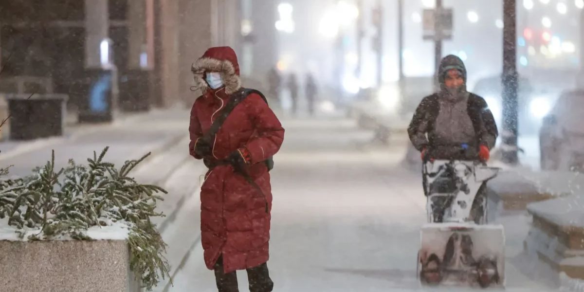
A powerful second winter storm is expected to hit the Pacific Northwest and Sierra Nevada this week, bringing several feet of snow, strong winds and potentially dangerous travel conditions. The storm follows another winter system that moved through the region over the weekend, with forecasters warning that the next round could be even stronger and last longer.
Second Storm Expected to Bring Heavier Mountain Snow
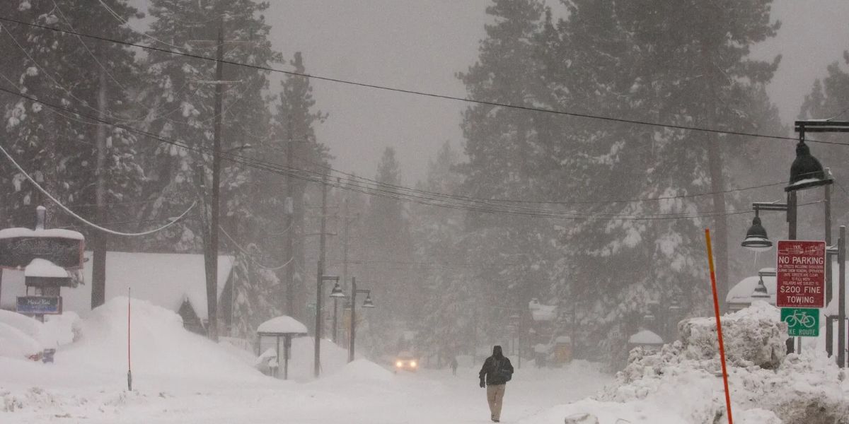
The incoming storm is expected to arrive around midweek, bringing colder air that could push snow levels lower and increase snowfall across mountain areas. Higher elevations of the Sierra Nevada could receive several feet of snow from Wednesday into late week.
AccuWeather warned that the combination of heavy snowfall and falling temperatures could create dangerous conditions for motorists, especially on mountain highways and passes.
“The heaviest mountain snow of the week will arrive with the second storm.”
Forecasters also warned that snow could accumulate at progressively lower elevations as colder air settles across the region.
Winter Storm Forecast: Key Details
| Forecast Detail | Expected Conditions |
|---|---|
| Main Region | Pacific Northwest and Sierra Nevada |
| Storm Timing | Midweek through late week |
| Sierra Nevada Snow | Several feet possible |
| Southern Oregon Snow | Up to 3 feet possible |
| Sierra Snow Forecast | Up to 4 feet in some areas |
| Main Threats | Heavy snow, strong winds, reduced visibility |
| Warnings | Winter storm warnings, watches and advisories |
| Expected Duration | Warnings through Friday |
Blizzard Conditions Could Make Travel Dangerous
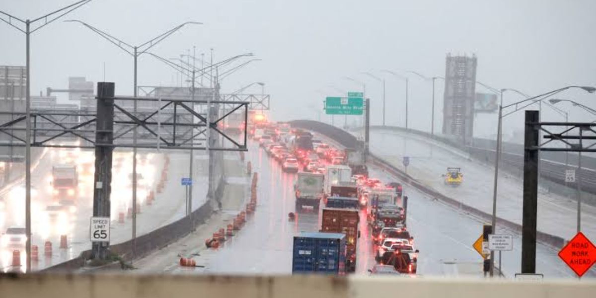
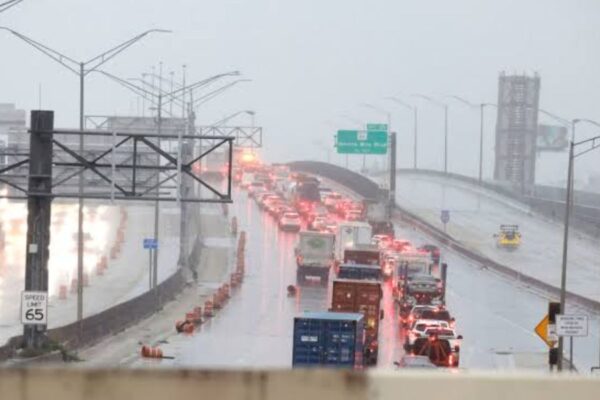
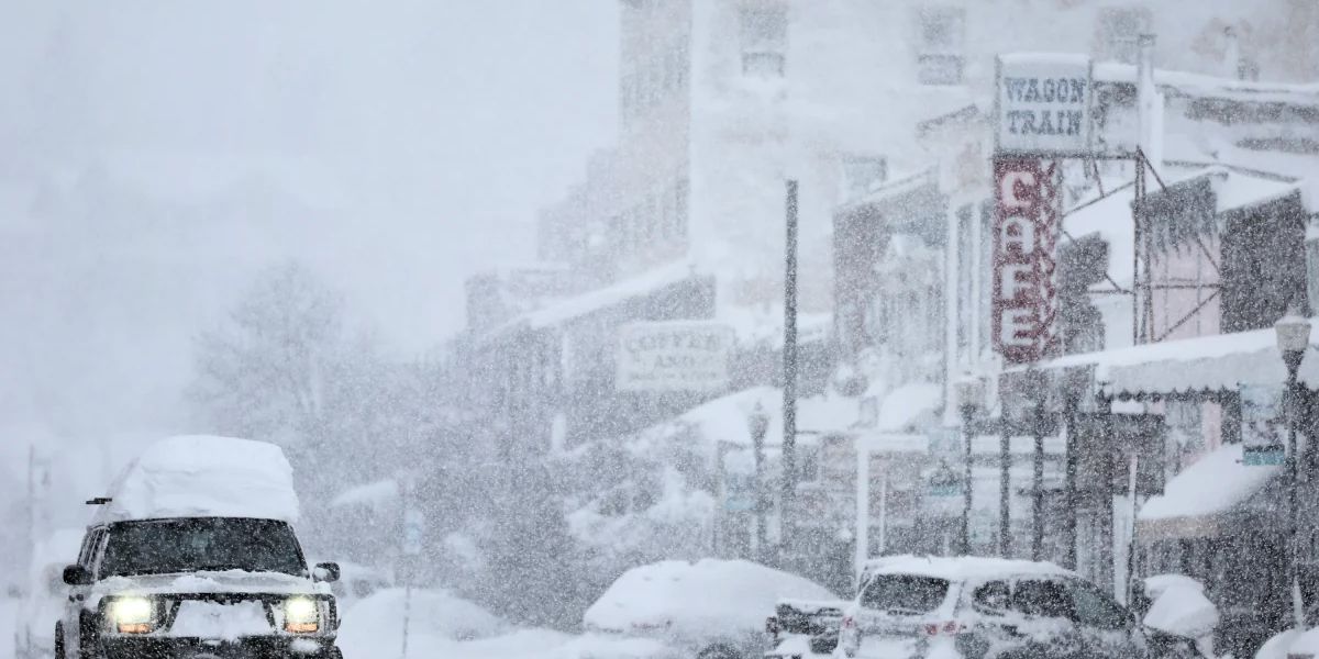
Heavy snow combined with strong winds blowing in from the Pacific could create blizzard-like conditions in parts of the region. Blowing snow may reduce visibility to near zero, making driving extremely dangerous and potentially causing travel disruptions.
Road crews may also face difficulties keeping highways clear as snow accumulates rapidly.
AccuWeather meteorologist Breanna Grill warned that Donner Pass, located at approximately 7,000 feet, could experience repeated snowfall as multiple storms move through.
“The second storm will be slower, lasting from Wednesday into Thursday and bringing more than a foot of additional snow.”
Areas Facing the Biggest Snowfall
The Sierra Nevada is expected to experience some of the heaviest mountain snowfall, with forecasts calling for up to four feet in certain areas. Southern Oregon could also see significant snowfall, with totals reaching as much as three feet.
Residents and travelers in California, Nevada and Oregon should prepare for potentially hazardous road conditions, delays and rapidly changing weather.
What Travelers Should Know
- Check weather forecasts before traveling through mountain areas.
- Expect possible highway delays and closures.
- Avoid driving during periods of near-zero visibility.
- Carry emergency supplies if traveling through snowy regions.
- Follow official winter storm warnings and road updates.
The winter storm warnings are expected to remain in effect through Friday in several areas as the second storm moves across the region.
Stay Updated with LifeScienceReport.com
For the latest weather developments, severe weather alerts, national news and important updates, visit LifeScienceReport.com. Stay informed and keep track of changing conditions that could affect your travel and safety.